Jawbone ACEC, includes Dove Springs
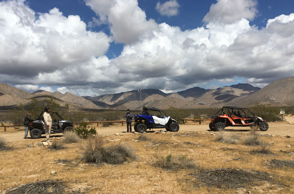
From cross-country play to advanced technical routes, the Jawbone OHV Area offers over 7,000 acres of open-use public land where you can ride anywhere your skill and machine will take you. Jawbone is also a great starting point to begin to explore the hundreds of miles of trail riding opportunities available in this region and outside of the OHV Open Area.
Getting There
Jawbone Open Area is located off State Highway (SH) 14, approximately 20 miles north of the intersection of SH 14 and 58 in the town of Mojave. A left turn from SH 14 onto Jawbone Canyon Rd., when traveling from the south. Traveling from the north, it is a right turn onto Jawbone Canyon Rd.
Services
The Jawbone OHV Station is located at the entrance to the Jawbone Canyon off SH 14. Also, there are 3 vault toilets located in the open area. Food and fuel are available in the town of Mojave, approximately 30 miles to the south. The nearest medical facilities are located in the city of Ridgecrest at the Ridgecrest Regional Hospital at 760-446-3551, and the Antelope Valley Hospital in Lancaster at 661-949-5000. BLM Rangers also frequently patrol the OHV area to offer assistance and information.
Staging and Camping Area
The entire OHV area and surrounding public lands are open to primitive camping. Within Jawbone Canyon itself, there are a number of excellent primitive camping sites and OHV staging/off-loading areas. Most of the sites within the OHV area are accessible by 2-wheel drive vehicles with trailers.
Please help BLM preserve California's fragile deserts by parking your vehicles or setting up camp in previously disturbed sites.
Trail Riding Outside of the OHV Area
Outside of the OHV area and within the Jawbone-Butterbredt Area of Critical Environmental Concern (ACEC), motorized vehicle use is restricted to a specific designated road and trail network. All cross-country travel is prohibited in these areas, and the designated routes are marked with brown trail markers. You may only use the designated route network -- all other trails are closed -- even if you do not see a red closed sign. If you plan on riding in these areas, obtain a travel map from the Ridgecrest Field Office, the Jawbone OHV Station, or the California BLM web site bookstore. The maps are for Lake Isabella, Tehachapi and Ridgecrest.
Regulation Information
"Green Sticker" OHV registration is mandatory for ALL vehicles which are not "street legal.” Visitors from outside the state of California must have a valid permit/registration from an off-highway vehicle program in your home state. If you do not have a valid permit/registration from your home state, you will have to purchase a "Non-Resident OHV Permit" for California. This sticker can be purchased at the Jawbone OHV Station.
Additional Information
The Mojave desert is home to the desert tortoise. Collecting or harassing a desert tortoise is illegal.
The BLM encourages all desert recreationists and travelers exploring public lands, not only within southern California but throughout the west, to use a propylene glycol based antifreeze/coolant in their touring and recreation vehicles. Proven safer, it will have minimal impacts on both the wildlife and the environment should a leak occur.
During the established hunting seasons, the BLM is encouraging all hunters and recreational shooters to use lead free nontoxic shot and bullets. Proven safer, nontoxic shot significantly reduces the risks of accidental lead poisoning of wildlife and will have minimal impacts on the environment.